Planning to walk the Via Francigena? Whether you're tackling a few stages or the entire route from Canterbury to Rome, having reliable and updated GPX tracks on your smartphone can make all the difference between a smooth experience and unnecessary stress.
Many pilgrims have reported that the official GPX tracks are no longer available on the European Association's website. That’s why we’ve made all Via Francigena GPX tracks freely available on our platform — easy to download and compatible with a wide range of apps and devices.
The tracks include:
- the full route from the Great Saint Bernard Pass to Rome
- alternative starting points like Siena, Lucca, Viterbo, and more
- weekly or intermediate sections
- historical and natural variants, such as the Monti Cimini or Abbadia San Salvatore
👉 Download the GPX tracks for the Via Francigena
How to Download and Use Via Francigena GPX Tracks Offline
Downloading and using GPX tracks is simple, even if you've never used one before. Just follow these steps:
- Go to our GPX download page.
- Select the section you're interested in: single stage, multi-day section, variant, or full route.
- Download the GPX file directly to your smartphone.
- Open it with one of the recommended apps.
- Download the offline map area within the app and activate your GPS.
Our tracks work completely offline, ideal for areas with poor network coverage.
Best Apps for Using GPX Tracks on the Via Francigena
Organic Maps
Organic Maps is one of the top-rated apps for walking routes like the Via Francigena. It's completely free, ad-free, and does not track your data, making it perfect for anyone who values simplicity, privacy, and speed. Once you download the offline map of the region, you can load the GPX file and see your real-time location even without a connection. The app is lightweight, quick to launch, and available for both Android and iOS. Based on OpenStreetMap, it includes trails, fountains, landmarks, and accommodations. It’s an excellent choice for step-by-step navigation and reliable offline use.
OsmAnd
OsmAnd is another robust option for following GPX tracks. The free version allows you to download offline maps, view elevation profiles, overlay multiple tracks, and navigate in real time. It’s particularly useful for those who want to customize their navigation experience, add bookmarks, or explore route alternatives. OsmAnd supports different travel profiles (walking, cycling, driving) and displays detailed elevation information. Its maps are also based on OpenStreetMap and receive frequent updates.
Both apps are ideal if you want to download Via Francigena GPX tracks to your smartphone and use them offline, with no hidden costs or subscriptions.
Compatible Devices for GPX Tracks
One of the great advantages of the GPX format is its versatility. You don’t need a professional GPS device — today, your smartphone and a good app are often all you need to confidently navigate the trail.
Here are the main types of devices you can use to load and follow our GPX files:
Smartphones (Android and iPhone)
By far the most popular option. Just install Organic Maps or OsmAnd, load the GPX track in the app, activate GPS, and you’re ready to go — even offline. Perfect for a lightweight and flexible setup.
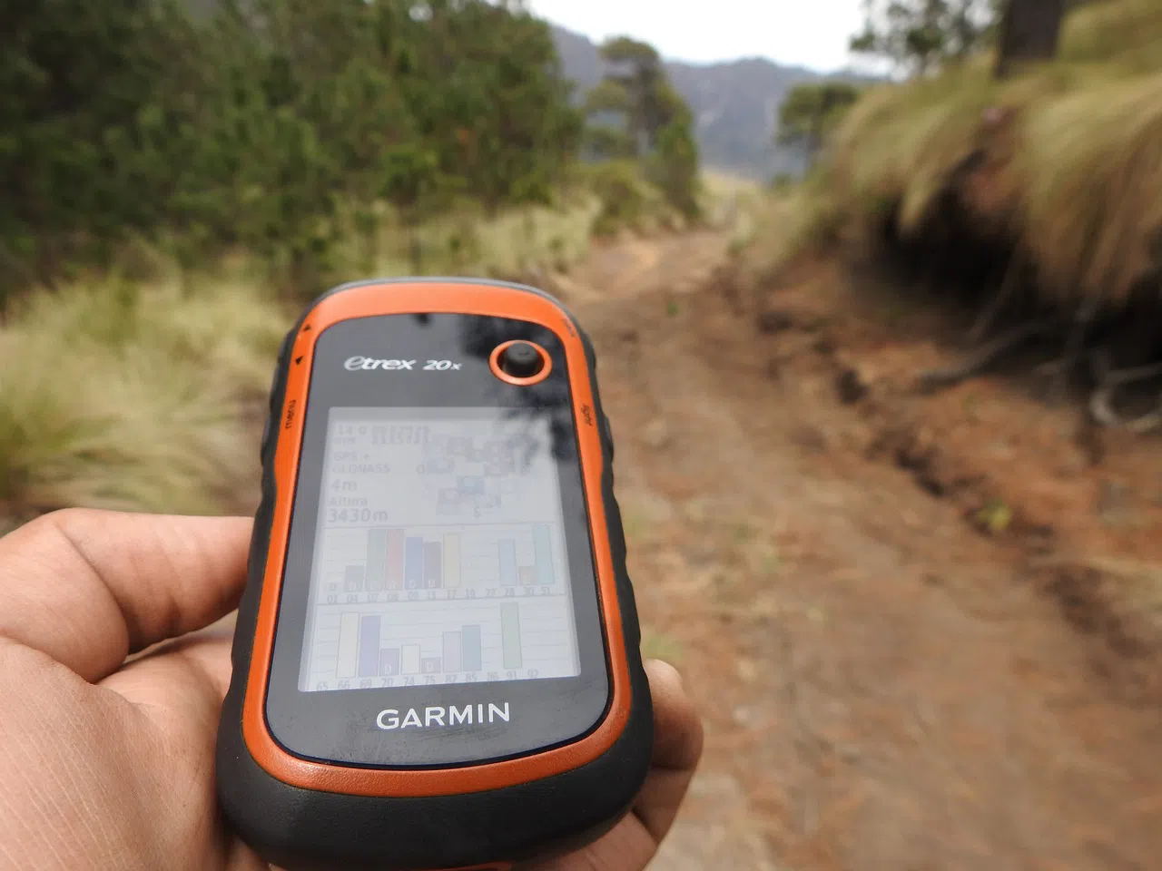
Handheld GPS Devices
If you prefer dedicated navigation hardware, our GPX files work on outdoor GPS units like Garmin (eTrex, GPSMAP, Oregon), TomTom, and others. These devices offer features like high-precision tracking and real-time elevation data.
GPS Smartwatches
Many Garmin, Suunto, and Apple Watch models support GPX files, letting you follow the route from your wrist — great if you prefer not to hold your phone or want quick glances for directions.
Desktop and Laptop Computers
You can view and edit GPX files on your computer to plan your route in advance. Tools like Google Earth, QGIS, GPX Editor, or browser-based viewers let you explore elevation profiles, landmarks, and route options in detail before your journey.
Customize Your Route and Download a Personalized GPX Track
If you'd like even more control over your itinerary, try our free online route planner, available at the end of our Via Francigena guide. It allows you to build a personalized walking plan, letting you:
- choose your starting and ending points
- select intermediate stages based on your pace or preferences
- adjust the number of days and daily distance
Once you’ve configured your journey, you can download a custom GPX file that matches your exact route — ready to use with any GPS-enabled app or device.
Start here:
👉 Customize your route and download a personalized GPX track
This is the perfect tool for anyone who wants to adapt the trail to their needs, a