The Via degli Dei is the historic route that connects Bologna to Florence and that for centuries has allowed pilgrims, travelers and armies to cross the Tuscan-Emilian Apennines by foot. The name Via degli Dei comes from the name of the mountain peaks surrounding the Futa Pass (Monte Venere and Monte Luario), which were consecrated to some of the Roman Gods. The trail, about 130km long, crosses unique landscapes, offering a total immersion in a luxuriant, uncontaminated nature, passing through abbeys and parishes and flanking for a stretch the remains of the ancient Flaminian way.
This beautiful route starts from Bologna in Piazza Maggiore, continues through the city along the portico of San Luca and runs along the River Reno up to Sasso Marconi. From there it climbs up the Apennines through woods and dirt roads, crossing landscapes of rare beauty. The path then enters Tuscany from the Futa Pass and descends into the Mugello to San Piero a Sieve, then reach Fiesole and finally Florence.
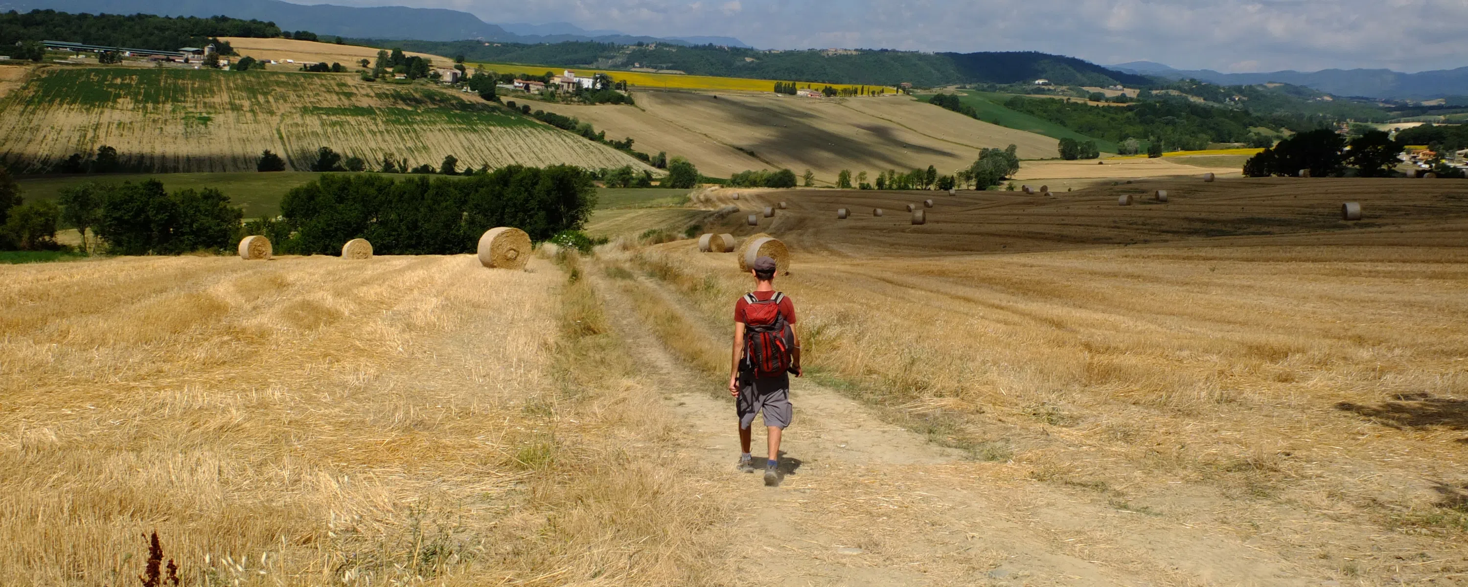
Along the path you will encounter beautiful areas of natural interest: the landscapes of the riverbed and gullies of the Talon Park, the suggestive rock formations of the Pliocene Contrafforte, the mountains covered with beech and chestnut woods of the Tuscan Emilian Apennines, up to the rural landscapes of the lovely Mugello hills.
The historical presence of the ancient Romans is strong here: for instance the tracks of the Military Flamina - an ancient communication artery built by the Consul Caio Flaminio in 187 BC, which united Bologna and Arezzo passing through Fiesole - are very visible. And so are the remains of an ancient Roman furnace for cooking the lime in Piana degli Ossi.
Along the road there are many points of interest worth a visit: the Sanctuary of San Luca which is reached from Bologna through the longest portico (666 arches) in Europe; the Sanctuary of the Madonna della Neve, in Madonna dei Fornelli; the abandoned Abbey of Buonsollazzo and the Monastery of Monte Senario, in a dominant position over the Florentine valley, it is one of the most important religious places in Tuscany.
At the Futa Pass you can see the Germanic military cemetery and some remains of the "Gothic Line" fortifications, testifying some brutal battles of the Second World War which took place in this area.
Last but not least, the legend that surrounds the Osteria Bruciata Pass is an interesting one: it goes over an old inn, where travelers were robbed and killed in their sleep and their corpses cooked and served as the next day's meal.
The “Via degli Dei” brings the travellers also through two regions - Tuscany and Emilia Romagna - which have a rich culinary tradition: on the Bolognese side you can taste lasagne, tortellini and tortelli, accompanied by the typical wines of the area such as Pignoletto and Red Romagna. After crossing the Futa Pass you can taste, instead, the steak of Mugellana meat, the tortelli of potatoes, the ribollita, accompanied by the Chianti wine from the Florentine hills and many other Tuscan specialties.
Plan your route with the The Via degli Dei App
With our guides you will be able to personalize duration and
difficulty of the routes based on your own wishes and walking
pace.
In a few clicks you can create your personalized hiking
guides. Choose your starting point, your arrival point and, if
you wish, even a middle point where to take a break.
Download or print the PDF guide of The Via degli Dei
The Forwalk paper guide is an A5 format mini-book with all the information on your chosen paths, the detailed maps, the list of hotels and much more. It is very easy to consult and to carry along during your trip. This guide is completely personalized to your needs and made available to you digitally (Acrobat Reader PDF file), to be accessed through smartphones and tablets or printed by you. You can also order it already printed in color on glossy paper, and delivered to you as a finely bound book.
GPX tracks are maps that you can download on GPS device to take with you on your walk. Our GPX tracks include routes with details of places such as shops, restaurants, lodgings, drinking fountains and springs.